Arizona is building more institutions around heat than ever. On September 28, 2026, Arizona State University launched what it describes as the nation's first Center for Heat Preparedness, funded through the National Institute of Standards and Technology and working with the City of Phoenix, the Governor's Office of Resiliency, the U.S. Census Bureau and Arizona's chief heat officer, Eugene Livar. Phoenix has nearly 100 heat relief sites. Yet Maricopa County had confirmed 230 heat deaths by late September, about 60 percent more than at the same point in 2025.
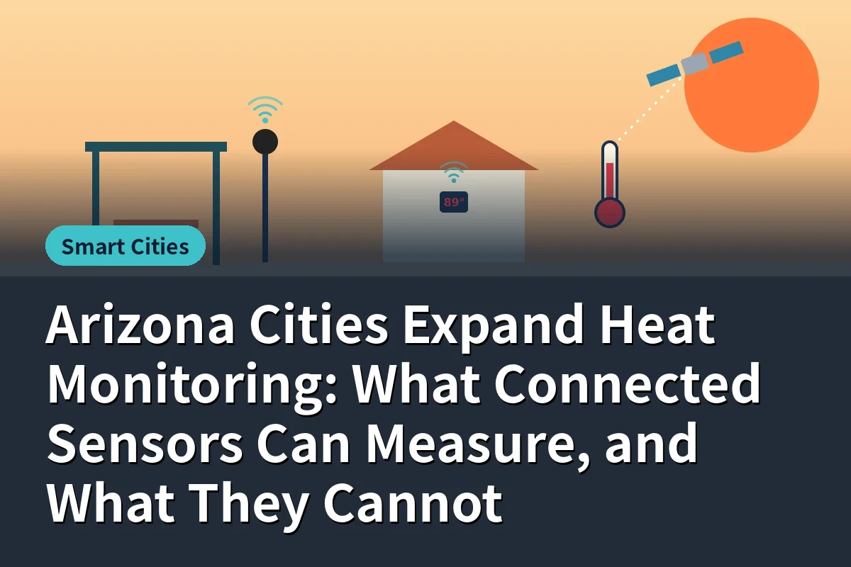
As cities and agencies expand heat monitoring, a basic question deserves more attention than it gets: what can connected sensors actually measure, and what can they not? Heat is not a single number. The air temperature a forecast reports, the radiant heat a person feels on a sidewalk, the surface temperature of a parking lot, the temperature inside a mobile home with a broken air conditioner and a person's own body temperature are all different measurements, captured by different tools. This article sorts them out so city staff, researchers and residents can choose the right tools for the right questions.
| Measurement | Typical Tool | What It Tells You | Common Pitfall |
|---|
| Air temperature and humidity | Shielded sensors on poles or buildings | Baseline conditions; heat index | Unshielded sensors in sun read far too high |
| Radiant heat | Black globe thermometers, mean radiant temperature sensors | Heat a person feels from sun and hot surfaces | Often skipped, although it drives much of outdoor heat stress |
| Wet bulb globe temperature | Combined WBGT stations | Heat stress for work and exercise | Requires careful placement and maintenance |
| Surface temperature | Infrared sensors, satellite and aerial thermal imagery | How hot pavement, roofs and soil get | Surface heat is not the same as air or body heat |
| Indoor temperature | Battery sensors in homes, schools, shelters | Whether people are safe inside | Privacy concerns and limited coverage |
| Cooling access | Census Local Air Conditioning Estimates, utility and program data | Where households lack air conditioning | Estimates, not real-time measurements |
| Personal physiological strain | Wearables measuring heart rate and skin temperature | Individual risk for workers or patients | Reaches few people; health data sensitivity |
Official temperatures come from weather stations at sites such as Phoenix Sky Harbor. They are essential for forecasts and records, but they cannot describe conditions at a bus stop in Maryvale, a mobile home park in Tucson or a schoolyard in Mesa. Researchers working with Brookhaven National Laboratory in Tucson described these gaps as data deserts, places where localized climate data simply does not exist. Their mobile trucks, carrying lidar, wind instruments, cloud cameras and temperature and humidity sensors, drove through Tucson neighborhoods as part of a $25 million federal research effort involving Arizona's three state universities, the City of Tucson, Pima County and the National Weather Service.
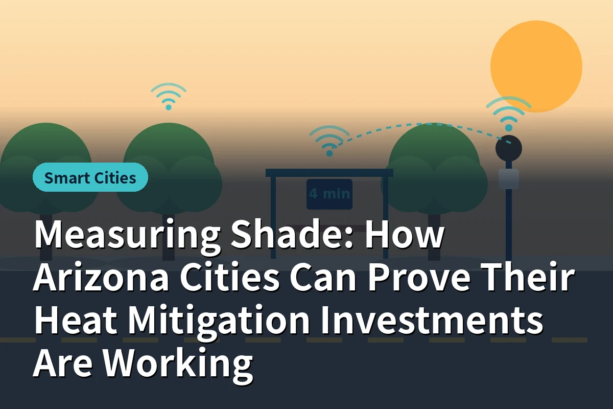
Permanent sensors at bus stops, parks and sidewalks provide continuous records and can show whether shade, trees or cool surfaces reduce heat over time. Our article on measuring shade in Arizona cities explains how to design those networks for evaluation.
Instrumented vehicles and community volunteers with portable sensors can map heat across a city in a single afternoon or evening. Mobile data reveals patterns fixed networks miss, but it captures snapshots rather than continuous records.
Many heat deaths occur indoors, often where air conditioning is absent or broken. University of Arizona researchers monitored climate data in 40 Tucson households as part of research on manufactured homes, which can heat quickly. Indoor sensors in senior housing, shelters, schools and rentals provide the most direct evidence of whether people are safe. Our smart buildings article covers indoor monitoring in rental properties.
Thermal imagery covers entire metros and shows which surfaces heat most. It is valuable for planning tree planting and cool roofs, but it measures surfaces, usually at specific times, and should be paired with ground sensors to understand what people experience.
Some of the most important heat information is not sensor data at all. The Census Bureau, working with ASU, has produced Local Air Conditioning Estimates down to the census tract. Statewide figures can look reassuring, but tract-level estimates of households without air conditioning range from about 0.2 percent to more than 16 percent, and Graham County has about 3 percent of households without it. Combining these estimates with sensor data, housing age, health records and heat relief locations shows where risk concentrates.
- Who is exposed. A hot sidewalk matters most if people wait or walk there. Exposure requires data on how people move and where they live.
- Why someone is vulnerable. Age, health conditions, medications, substance use and housing all shape risk in ways sensors cannot see.
- Whether help arrives. A sensor can show a dangerous temperature, but response depends on outreach, transportation and cooling resources.
- Causation on their own. Proving that a shade project reduced illness requires careful study design, not just before-and-after readings.
- Shield and site air sensors properly. Direct sun on a sensor housing can add many degrees of error.
- Measure radiant heat where people are. Bus stops, playgrounds and walking routes matter most.
- Capture nights. High overnight temperatures are a major risk for people outdoors and in homes without cooling.
- Calibrate and maintain. Dust, heat and vandalism degrade sensors; plan replacement cycles.
- Standardize across cities. Shared equipment specifications and data formats allow regional comparison.
- Protect privacy. Indoor and personal data should be collected with consent and used only for safety.
An ASU study reported in 2026 found that data centers can warm surrounding areas by several degrees. Questions like this require sensors placed around facilities before and after construction, controlling for other changes in land use. As cities expand networks, including industrial and data center areas in the design will help answer questions that are becoming part of public debate, as our article on data center energy and water monitoring discusses.
ASU's Sally Morton has described the new center's goal as moving from response to readiness, and Livar has argued for shifting away from seasonal, short-term approaches. Monitoring supports that shift when it runs year-round, feeds planning as well as emergency response and is shared among cities, health agencies, utilities and community organizations. Our article on extreme heat monitoring explains how personal, building, neighborhood and regional data connect during heat waves.
Consider a Valley city planning a heat network for three neighborhoods with low tree canopy and high rates of households without air conditioning. It installs radiant and air temperature sensors at 30 bus stops and walking routes, including shaded and unshaded pairs. It partners with a housing nonprofit to place indoor sensors, with consent, in 50 older homes and a senior apartment building. It schedules two mobile campaigns each summer to fill gaps and uses satellite imagery to plan tree planting. Data flows to a shared dashboard used by the heat office, outreach teams and the county health department, with alerts when indoor readings exceed safe thresholds. The example is illustrative, but it shows how combining measurement types answers more questions than any single network.
Done well, a modest network can support grant applications, guide tree planting budgets and help outreach teams decide where to go first on the hottest nights.
Heat data comes from many owners: cities, universities, utilities, health agencies, landlords and residents. Sharing it across organizations multiplies its value, but raises questions about access, privacy and responsibility. Clear agreements on what is shared, at what level of detail and for what purposes help partners act quickly during heat waves. Public dashboards with neighborhood-level data, rather than household-level detail, can inform residents without exposing individuals. The ASU center's emphasis on coherence across agencies points in this direction.
Heat networks often start with grant funding that covers equipment but not upkeep. Batteries, calibration, replacement of damaged sensors and staff time to analyze data all need ongoing budgets. Cities that plan for five or more years of operation from the start avoid the common pattern of networks that quietly fail after their first summers.
Arizona's heat institutions, from the ASU center to city heat offices and the state's chief heat officer, are growing at the same time as monitoring tools become cheaper and more capable. The most useful networks will be those designed around clear questions: where people are exposed, whether interventions work and who needs help now. Measuring the right kind of heat, in the right places, is the foundation for everything else.
Find sensor network and smart city partners in the IoT Arizona company directory, including smart city providers in Tucson. Browse more of our Smart Cities coverage.
Frequently asked questions
Air temperature and humidity, radiant heat, wet bulb globe temperature, surface temperature, indoor temperature and personal physiological strain, plus estimates of air conditioning access.
They describe one site and cannot capture conditions at bus stops, neighborhoods or homes. Researchers call these gaps data deserts.
A center launched September 28, 2026 with NIST funding to coordinate heat research and help communities move from response to readiness, working with Phoenix, the state and the Census Bureau.
Census Local Air Conditioning Estimates show tract-level shares ranging from about 0.2 percent to more than 16 percent, which helps target help where risk concentrates.
Who is exposed, why individuals are vulnerable, whether help arrives and, on their own, whether an intervention caused health improvements.
Shield air sensors, measure radiant heat where people are, capture nights, calibrate regularly, standardize across cities and protect privacy for indoor data.
Related articles

 Smart Cities