 Public Safety

Minutes That Matter: Flash Flood Sensor Networks and the Lessons of Arizona's 2026 Monsoon
Public Safety
Published by IOT Arizona Research & Editorial Team
- The Real Problem Is Not the Forecast
- Anatomy of a Flash Flood Warning Network
- The Last Mile: Reaching People Without Cell Service
- Urban Arizona Has Its Own Flash Flood Risk
- Burn Scars Change the Math
- Building a Program: Steps for Agencies and Land Managers
- Who Pays, and Who Keeps It Running
- Measuring Whether a Network Works
- What Individuals Can Do Right Now
- Where Public Safety Sensing Is Heading
At about 2:30 on the afternoon of August 29, 2026, a flash flood tore through Bright Angel Canyon and the Phantom Ranch area at the bottom of the Grand Canyon. Nearly all the footbridges over Bright Angel Creek were destroyed, the Transcanyon Waterline that supplies the park was damaged, and dozens of hikers and campers had to be evacuated by helicopter. Two hikers from Texas died, and a third member of their group was still missing when the park issued its update on September 1. At one point, park officials were trying to account for more than a dozen people who might have been in the flood's path.
It was not the first such disaster in recent memory. In August 2024, a flash flood in Havasu Creek swept away a hiker from Gilbert and forced the evacuation of roughly 100 visitors and tribal members. Across Arizona, from slot canyons to urban washes to wildfire burn scars above Flagstaff neighborhoods, the pattern repeats: intense monsoon rain falls somewhere upstream, and water arrives downstream faster than people can react.
This article looks at how connected sensor networks can buy those minutes, why warnings still fail to reach the people who need them, and what Arizona agencies, land managers and communities can realistically do before the next monsoon season.
The Real Problem Is Not the Forecast
Forecasters usually know when a day carries flash flood risk. The National Weather Service issues watches and warnings, and parks post advisories. What forecasts cannot do is say precisely which drainage will receive a cell's heaviest rain, or when a wall of water will reach a particular trail crossing.
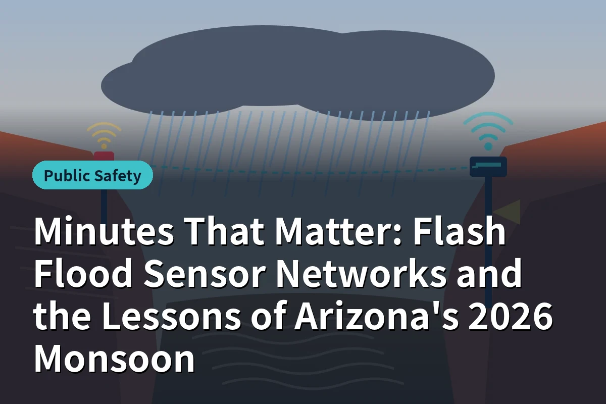
That gap is where sensors matter. A rain gauge in the upper watershed detecting an extreme burst, or a stream sensor recording a sudden rise, turns a regional forecast into a specific, local signal. The value lies in the travel time between that detection and the arrival of water downstream, which in Arizona's steep, rocky terrain might be tens of minutes or less.
Anatomy of a Flash Flood Warning Network
| Component | Role | Arizona Considerations |
|---|---|---|
| Upstream rain gauges | Detect intense rainfall in headwaters before runoff concentrates | Place them in the drainages that feed high-use areas, not just where access is easy |
| Stream level sensors | Measure rising water in channels, often with radar or pressure sensors | Must survive debris flows, sediment and extreme heat; mount above expected flood levels where possible |
| Communications | Move data from remote sites to a warning center | Radio networks, cellular, satellite and LoRaWAN each have gaps in deep canyons; redundancy is essential |
| Decision logic | Turn readings into alerts using thresholds or models | Thresholds must reflect each basin's response; burn scars change them dramatically |
| Warning delivery | Reach people at risk through sirens, lights, phones, radios and staff | Many high-risk places have no cell service at all |
Arizona already has a strong foundation. The Flood Control District of Maricopa County operates one of the more extensive automated rain and stream gauge networks in the country, and agencies in northern Arizona expanded monitoring on wildfire burn scars after recent fires turned normal storms into dangerous debris flows. The challenge is extending that coverage to remote recreation areas and ensuring the last link, reaching people, actually works.
The Last Mile: Reaching People Without Cell Service
Wireless Emergency Alerts can reach nearly every phone in a covered area, but inner canyons, remote trails and parts of tribal land often have no signal at all. A hiker at the bottom of a canyon may be in the most danger and the least reachable. Several approaches can help close that gap:
- Local sirens and strobe lights at campgrounds, trailheads and creek crossings, triggered automatically by upstream sensors.
- Staffed locations with radio links, such as ranger stations and lodges, that can relay warnings in person.
- Satellite-capable devices carried by hikers, including newer phones with satellite messaging and dedicated messengers, which could in principle receive alerts where cellular service does not reach. Broader alert delivery over satellite remains an emerging capability.
- Digital signage at trailheads that shows current flood risk levels based on live sensor data rather than static warning signs visitors learn to ignore.
No single channel is enough. Redundancy across several is what gives warnings a chance to land.
Urban Arizona Has Its Own Flash Flood Risk
Flash floods are not only a backcountry problem. In the Phoenix and Tucson metros, monsoon storms can turn dry washes and low-water crossings into dangerous currents within minutes, and drivers routinely underestimate them. Arizona's "Stupid Motorist Law" allows responders to bill drivers who ignore barricades and need rescue, a sign of how often it happens.
Connected technology helps here too. Water level sensors at low-water crossings can trigger flashing warning signs and automated gates, and data can feed traffic management centers and navigation apps to route drivers away. Several Valley cities, including Scottsdale and Glendale, have neighborhoods where wash crossings are part of daily driving routes during the monsoon.
Burn Scars Change the Math
After a wildfire, soils can become water-repellent and vegetation that slowed runoff is gone. Storms that once caused minor runoff can produce destructive floods and debris flows in neighborhoods below the burn. Flagstaff residents have experienced this directly in recent years.
For burn scar monitoring, three practices stand out: install rain gauges on the scar itself soon after containment, set lower alert thresholds than for unburned basins, and give downstream residents a direct alert channel such as opt-in text notifications tied to specific gauges. Because burn scars recover over several years, thresholds should be revisited each season.
Building a Program: Steps for Agencies and Land Managers
- Map exposure, not just hazard. Identify where people concentrate in flood paths: campgrounds, popular trails, low-water crossings, neighborhoods below burn scars.
- Estimate lead time for each site. Work backward from each exposed location to find where sensors must sit to provide useful warning time.
- Design for failure. Assume sensors will be damaged by the floods they detect. Use redundant gauges, multiple communication paths and health monitoring that alerts when a station goes silent.
- Coordinate across jurisdictions. Watersheds cross federal, state, county, tribal and municipal boundaries. Shared data agreements prevent gaps.
- Test the whole chain. Run drills that start with a simulated gauge reading and end with confirmation that a siren sounded or a message reached a campground host.
- Communicate before storms. Visitors and residents need to understand what alerts mean and what to do: climb to high ground immediately rather than waiting to see the water.
Who Pays, and Who Keeps It Running
The hardest part of a warning network is rarely the initial installation. Grants and emergency funding often cover sensors and communications gear after a disaster. What is harder to fund is the ongoing work: replacing batteries and solar panels, clearing debris from stream sensors, recalibrating gauges, renewing communication contracts and paying staff to monitor alerts during storms.
Networks that last tend to share a few characteristics. Ownership is clear, with one agency responsible for maintenance even when several use the data. Maintenance is budgeted annually rather than funded project by project. Station health is monitored automatically, so a silent gauge is noticed before the next storm rather than after. And data is shared openly with partners such as the National Weather Service, which increases the network's value and builds support for sustaining it.
Remote recreation areas add complications. Sensors in wilderness or on tribal land require permits, respectful consultation and sometimes helicopter access for maintenance. Partnerships between federal land managers, tribal governments, counties and universities can share those costs and bring local knowledge of how each drainage behaves.
Measuring Whether a Network Works
Agencies should track more than uptime. Useful measures include the average lead time between a sensor trigger and water arriving at key locations, the share of alerts that reached their intended audience, false alarm rates that can erode public trust, and time to restore damaged stations after an event. Reviewing each significant flood against these measures, including the August 2026 event, turns hard lessons into specific improvements for the following season.
What Individuals Can Do Right Now
Technology helps, but personal decisions still save lives. Before hiking in canyons during monsoon season, check the forecast for the entire upstream watershed, not only your location. Know your escape routes to higher ground. Watch for warning signs such as rapidly changing water color, rising water, floating debris or a roaring sound upstream. Carry a satellite messenger in areas without cell service. And never drive into a flooded crossing, no matter how shallow it looks.
Where Public Safety Sensing Is Heading
Lower-cost sensors, long-range wireless networks and satellite connectivity are making dense monitoring more affordable. Radar-based stream sensors are becoming easier to install on bridges and canyon walls. Machine learning models trained on years of gauge data could help predict which basins will respond to a given storm. The most important advances, however, may be organizational: shared data between agencies, sustained funding for maintenance and clear responsibility for sounding the alarm.
The August 29 flood was a painful reminder that Arizona's most beautiful places can turn deadly in minutes. Sensor networks cannot stop the water, but well-designed ones can give people the time they need to get out of its way. Agencies and communities seeking local technology partners can explore the IoT Arizona company directory.
Tags:
Related articles
Public Safety
 Public Safety
Arizona's Smart Cities: How IoT Strengthens Public Safety
 Public Safety
Emergency Notification Systems in Arizona: How Real-Time Alerts, IoT Sensors, and Smart City Data Are Strengthening Public Safety
 Public Safety